Guide · November 5, 2026 · 7 min read
Hiking Near Mexico City: How to Choose and Prepare for a Mountain Hike
Crater rims, alpine slopes and forest ascents offer very different mountain experiences. Compare Nevado de Toluca, La Malinche and Monte Tláloc, then plan around the route, altitude and logistics—not just the summit photograph.
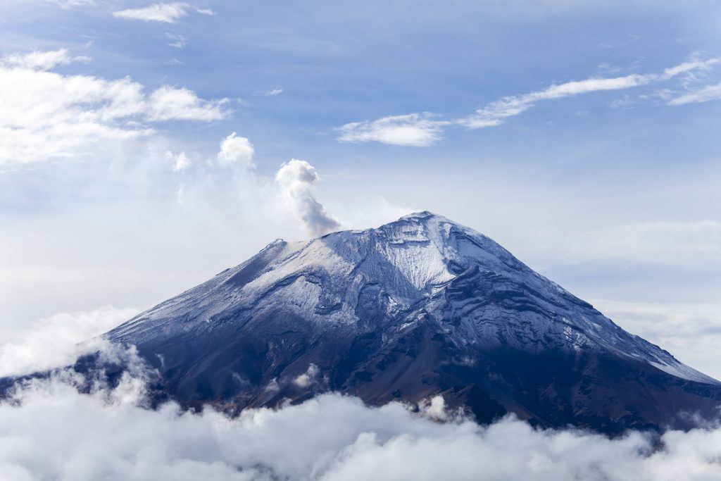
Searching for hiking near Mexico City often begins with an image: a volcanic crater, a summit above the forest, a path disappearing between trees. The useful question comes next: which experience fits the hiker you are today? Nevado de Toluca Summit, La Malinche Summit and Monte Tláloc offer three distinct starting points, from crater rims and lagoons to alpine slopes and ceremonial remains. Their scenery helps you choose a direction, but it does not settle the practical questions. Before committing, match the proposed itinerary to your recent walking experience, your response to altitude and the time you can actually give the outing.
What kind of hiking can you find near Mexico City?
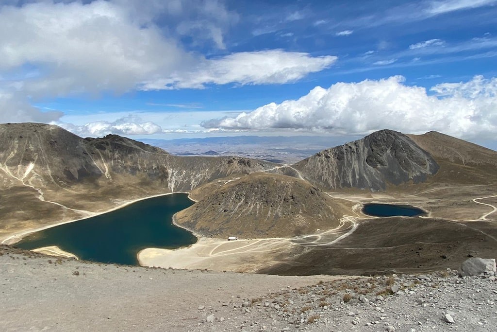
For a landscape shaped around a volcanic crater, start with Nevado de Toluca Summit in the State of Mexico. Its catalogue description places the outing among crater rims and the Sun and Moon lagoons, with a listed maximum altitude of 4,680 metres. That combination gives the trip its visual identity, but the word “Summit” matters: do not assume a summit itinerary is simply a walk beside the water. Ask Backpacking Mexico to explain the proposed route and its objective. Clarify how the crater landscape figures in the outing, what the ascent involves and which details remain dependent on the final plan.
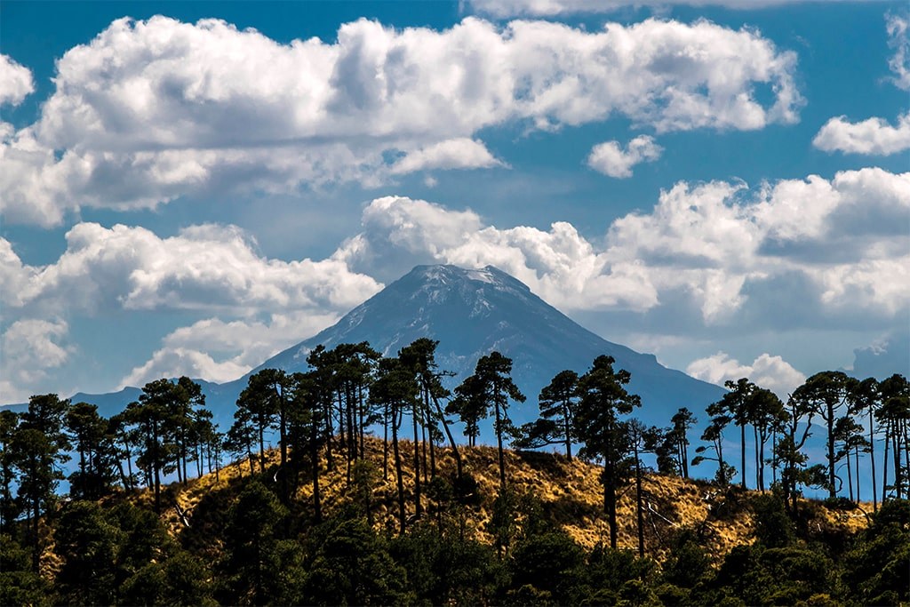
La Malinche Summit, in Tlaxcala / Puebla, offers a different landscape progression: pine forest gives way to open alpine slopes. The catalogue describes it as a classic acclimatization peak and lists a maximum altitude of 4,460 metres. Monte Tláloc, in Río Frío, State of Mexico, is described instead as a long ascent through highland forest to an open summit with pre-Hispanic ceremonial remains. No maximum altitude is supplied for that trip. Choose between them first by the experience that interests you: a forest-to-alpine transition, or a long forest ascent with a cultural dimension. Then investigate whether the actual itinerary suits your preparation.
How hard are these hikes, and which should you choose?
A landscape description is not a difficulty rating. The catalogue does not provide formal difficulty grades, distances or precise walking durations for these three trips, so a reliable comparison cannot rank them as easy, moderate or hard. Nor should their summit altitudes stand in for missing information about ascent, footing or sustained effort. Monte Tláloc is explicitly described as a long ascent, but that description is not a measured schedule. Ask for the distance, elevation gain, expected walking time and terrain of the itinerary being proposed. Those answers will tell you more than a broad label or an appealing summit photograph.
Give Backpacking Mexico a useful picture of your experience rather than simply saying you are fit. Describe a recent hike, how you felt on the climbs and descents, what you carried and whether you have walked at altitude before. Explain whether your priority is reaching a summit, spending time in the landscape or building experience for another objective. Ask how the guide would assess your suitability and what alternatives could be discussed if the proposed outing is not a good match. Choosing a hike is not a contest between mountains; it is a decision about the effort and experience you want.
Choose the mountain by the day you are prepared to walk, not only by the summit you want to photograph.
How do you get there, and what logistics need confirming?
Think of “near Mexico City” as the beginning of a search, not a promise about transfer time. The catalogue locates Nevado de Toluca in the State of Mexico, La Malinche in Tlaxcala / Puebla and Monte Tláloc in Río Frío, State of Mexico. It does not supply driving directions, transport schedules, meeting points or journey times for these trips. Avoid building a tightly timed day around guesses. Ask Backpacking Mexico where the outing starts, how you reach the trail access point and whether transportation is included or arranged separately. Confirm the return arrangements with the same care as the outward journey.
Separate the time spent walking from the time the outing occupies in your calendar. Nevado de Toluca is described as a high-altitude day out, but its precise duration is not listed; neither are precise durations for La Malinche or Monte Tláloc. Request a complete proposed schedule rather than interpreting a trip name as a timetable. Ask about the meeting time, preparation before walking, breaks, the approach to turnaround decisions and the expected return window. If you have another commitment afterward, mention it before choosing. A useful plan makes room for uncertainty instead of treating every stage as a fixed appointment.
What should you bring?
Treat packing as a conversation about the confirmed itinerary, not a universal equipment list attached to every mountain. Ask for Backpacking Mexico’s trip-specific guidance on footwear, clothing layers, rain protection, sun protection, food, water and carrying capacity. Find out what equipment, if any, is supplied and what you must bring yourself. Use footwear and a pack you have already tried rather than discovering uncomfortable pressure points during the outing. If poles or other equipment are recommended, ask how they fit the planned terrain. The aim is to arrive prepared for the agreed walk without assuming either that everything is provided or that specialized gear is automatically required.
How should you think about altitude and acclimatization?
The listed maximum altitudes are important planning information: 4,680 metres for Nevado de Toluca Summit and 4,460 metres for La Malinche Summit. They are not starting elevations, elevation gains or a promise that every proposed outing reaches the same point. The Monte Tláloc entry supplies no maximum altitude, and filling that gap with an assumed figure would undermine the comparison. Ask for both the starting and highest planned elevations, and discuss how much of the outing takes place high on the mountain. Keep the distinction clear: the height of a destination and the amount of climbing required to reach it are different questions.
La Malinche’s description as an acclimatization peak should open a discussion, not close it. It does not mean the ascent is automatically suitable for every newcomer, or that completing it guarantees readiness for another mountain. Tell Backpacking Mexico about your recent altitude exposure and ask how acclimatization should fit into your own itinerary. If you have health concerns, seek individualized medical advice before committing. Ask the guide how changes in how you feel should be communicated and how decisions to stop or turn around are handled. Avoid designing your preparation around a universal timetable that neither your circumstances nor the catalogue can support.
What is the best season to go?
There is no supported month-by-month season recommendation in these catalogue entries. They do not establish a best month, typical visibility, surface conditions or guaranteed access, so an evergreen guide should not manufacture a weather calendar. Instead, use your preferred travel period to begin a specific conversation with Backpacking Mexico. Ask what conditions would be appropriate for the proposed route, what information will be checked before departure and what changes might lead to a revised plan. If seeing a particular landscape is central to your choice, say so. A preference for crater scenery or an open summit is useful context, not a guarantee of what conditions will reveal.
Frequently asked questions before choosing a hike
Which of these hikes is best for a beginner? The available information does not support naming a universal beginner option; ask for an assessment against the actual itinerary. Can you compare them by distance? Not from this catalogue, because distances are not supplied. Is the highest listed summit necessarily the hardest outing? Altitude alone does not answer that question, especially without elevation gain and route information. Does a summit trip mean the summit is guaranteed? Treat the summit as an objective to discuss, not an entitlement. These questions are worth asking early because they shape expectations before transport, equipment and the rest of your plans are settled.
What should you ask Backpacking Mexico first? Name the landscape that draws you in, then give the practical context. For Nevado de Toluca Summit, ask about the summit objective and its relationship to the crater and lagoons. For La Malinche Summit, ask about the forest-to-alpine itinerary and whether its acclimatization role fits your plans. For Monte Tláloc, ask what the long ascent from Río Frío involves and how to approach the ceremonial remains respectfully. Include your experience, available time and any concerns. The best next step is not to collect more summit names, but to turn one compelling landscape into a well-understood walking plan.