Story · October 16, 2026 · 6 min read
Inside the Crater: A Day on Nevado de Toluca
Two lagoons the color of glacier water, a scramble up loose volcanic rock, and the highest single-day summit from Mexico City.
Tom had expected a mountain. What he hadn’t expected was to drive into one. At eight in the morning the van turned off the highway beyond Toluca, paused at the park gate of Parque de los Venados, and began grinding up a gravel road through bunchgrass and gnarled pines until the trees gave up entirely. When he stepped out at the crater rim, a little over 4,200 meters above the sea he’d left four days earlier in San Diego, the first breath felt like drinking through a straw.
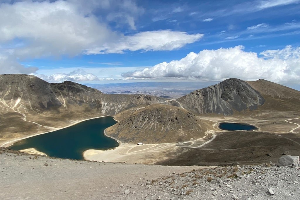
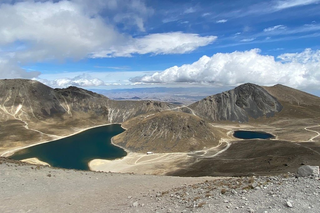
Below him, the volcano opened like a bowl. Two lakes lay in its floor — Laguna del Sol, larger and green-blue, and Laguna de la Luna, smaller, darker, almost secretive — with a lumpy lava dome the locals call El Ombligo, the navel, between them. Above, on the far side, the jagged crest of Pico del Fraile rose another 500 meters into a sky so blue it looked painted.
Walking on the bottom of a volcano
The guide handed out helmets — ‘for the top, the rock up there moves’ — and they dropped into the crater. There is something disorienting about walking downhill at the start of a summit day, and something extraordinary about the silence inside Xinantécatl. The wind that had shoved them around on the rim simply stopped. Tom could hear the gravel under his boots and, somewhere, a bird.
They crossed between the lakes slowly. ‘Everything up here is slow,’ the guide said. ‘The people who go fast in the crater are the ones who sit down on the ridge.’ Tom, who ran half-marathons at home, didn’t believe him. Forty minutes later, on the far wall, he did.
The hardest hour
Above 4,400 meters the trail stopped pretending to be a trail. The slope was loose volcanic scree — two steps up, slide back one — and then broken rock where hands were as useful as feet. Tom’s heart hammered in his ears. Every few meters he stopped, hands on knees, and looked back at the lakes growing smaller and bluer beneath him.
“It’s a short trail and thin air,” the guide said, passing him water. “That’s the whole story of this mountain.”
Pico del Fraile arrived the way summits often do: suddenly, after he’d stopped believing in it. At 4,680 meters, Mexico’s fourth-highest point, the world fell away on every side. To the east, cloud banks parted to show Popocatépetl and Iztaccíhuatl, and beyond them the white cone of Pico de Orizaba floating above the haze. Twenty minutes on top. Photos. A handful of nuts that tasted better than anything he’d eaten all year.
What the mountain told him
Back across the crater, the return climb to the rim felt cruelly steep. By half past three they were peeling off layers at the van, and by half past four Tom was sitting in a restaurant in Toluca with a plate of food and a cold drink, grinning at strangers who had become a team in eight hours. He slept the entire drive back to Mexico City.
Later he would say Nevado taught him two things. The first: fitness at sea level is not the same as fitness at altitude. The second: he was curious about something bigger, but knew another mountain would require its own assessment. He booked La Malinche for the following weekend, and started asking questions about Iztaccíhuatl.
The hikers in our stories are composite characters, but every route detail, time and condition comes from the real trails we guide.