Mexico City
Ajusco
The highest point in Mexico City — a forested summit hike close to the capital.
Private treks, available on request. Full trek details, inclusions, equipment recommendations, availability and a personalized quotation are provided upon request.
Reference itinerary: 1 day
- Published level
- Beginner
- Route distance
- ≈ 5 km
- Route altitude
- ≈ 3,900 m
- Elevation gain
- ≈ 730 m
Reference route measurements are not a confirmed itinerary. Your proposal specifies permitted access, walking start and private group arrangements.
Overview
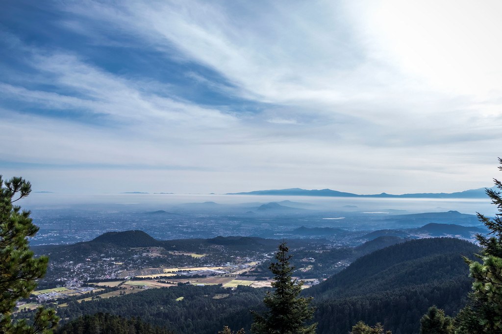
Reach the highest point in Mexico City. We start in the forest on Ajusco's lower slopes, climbing through sacred fir and pine. Halfway up, the trees open into bunchgrass meadows dotted with mountain roses.
Near the top the path turns rocky and the vegetation thins. When you spot the summit cross you're almost there — the best viewpoint over Mexico City, at about 3,930 m.
- Highest summit in Mexico City
- Fir and pine forest, alpine meadows
- Rocky viewpoints over the Valley of Mexico
The route experience
Route overview
A forest-to-summit day on Ajusco
- Agree a feasible meeting zone and the permitted walking start in your private proposal.
- Ascend through fir and pine forest at a steady pace. The higher slopes open into grassland and rock; effort depends on the selected trail and altitude response.
- Approach the rocky summit only if weather and the group's condition allow. Reserve energy and daylight for the descent; the summit is not guaranteed.
- Descend to the agreed trailhead. A meal stop or return transfer is optional and must be listed in your quote.
An overview of the destination, not a fixed departure itinerary. The selected trails, walking stages and transport are set out in your personalized proposal.
Inclusions & route planning
Guiding, access, transport, meals, equipment and overnight arrangements are defined in your written quote. None are implied by this proposed route.
Private departure on request. Guiding, pickup, access, meals and any equipment arrangements are confirmed in your written proposal.
Expect sustained uphill and downhill walking, altitude and loose rock near the summit. A published beginner rating is a route reference, not a suitability assessment or promise of easy conditions.
What to bring
- Daypack with hip/chest straps (not a tote or shoulder bag)
- 1–2 litres of water
- Trail snacks: nuts, dried fruit, bars
- Hiking boots or trail shoes with ankle support and grippy soles
- Sports clothing: quick-dry shirt, jacket, hiking trousers
- ID and cash for lunch
- Warm hat and gloves
- Sunscreen, sunglasses and cap
- Rain jacket
The day before: no alcohol, a carb-rich dinner, plenty of water and a good night's sleep.
Preparation
Share your recent hiking experience, fitness and time at altitude. Train for both the climb and the descent, break in your footwear and check the final packing list for your dates. Seek medical advice for health concerns before high-altitude travel.
Safety & access
Weather, trail access and the group’s condition may change the plan. Ask for guide arrangements, emergency communication, evacuation planning and insurance requirements for your selected route. A viewpoint or summit is never guaranteed.
Planning & safety →About this place
- Pico del Águila, the summit, rises to about 3,930 m.
Trip facts
- Duration
- Day hike
- Difficulty
- Beginner · reference route
- Max altitude
- ≈ 3,930 m
- Distance
- ≈ 5 km · reference route
- Elevation gain
- ≈ 730 m · reference route
- Price / quote
- Request a Quote
- Departures
- Private departure · on request
- Group size
- Specified in your route proposal
- Meeting point
- Set out in your trip proposal
- Guide & supervision
- Ask for the guide profile for your route
- What's included
- Only agreed services in your written quote
- What to bring
- See the packing list above
- Acclimatization requirements
- Planned around altitude and experience
- Cancellation policy
- Provided with your quote before booking
Combine with
 Intermediate
State of Mexico
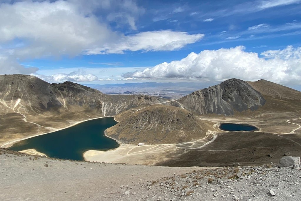
Nevado de Toluca Summit
A high-altitude day out among crater rims and the Sun and Moon lagoons.
Private departure · on request
Request Full Trek Details →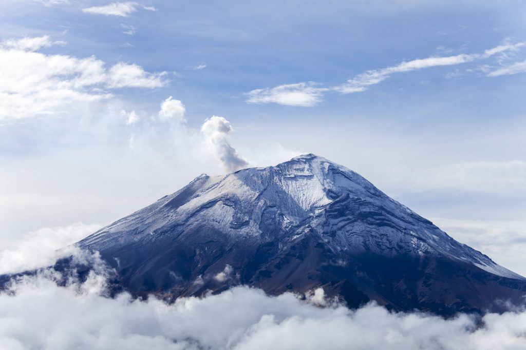 Intermediate
Tlaxcala / Puebla
La Malinche Summit
A classic acclimatization peak: pine forest giving way to open alpine slopes.
Private departure · on request
Request Full Trek Details →