Sierra Norte, Oaxaca
Pueblos Mancomunados
Village-to-village hiking through pine-oak forest on community-managed trails.
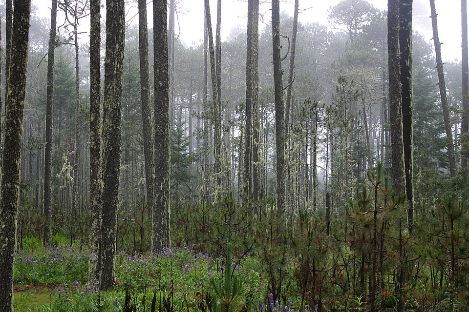
Destination photo: Bosque en la Sierra Norte (Cajonos), Oaxaca · Prsjl · CC BY-SA 3.0 · Resized
Private treks, available on request. Full trek details, inclusions, equipment recommendations, availability and a personalized quotation are provided upon request.
Oaxaca · Sierra Norte
Your time in the Pueblos Mancomunados
Choose a planning concept to discuss with us and the communities. Three- and seven-day formats have published references; four, five and six days are requests for local customization, not confirmed packages.
A first journey into the Sierra
A compact walking concept inspired by the published three-day Caminos Reales format: forest trails, historic paths and time in mountain communities. Exact villages and daily effort follow the locally agreed proposal.
Community interests
All experiences depend on community consent, hosts, weather and dates. Meals, lodging and guiding are only included if agreed in writing.
Overview
3–7-day planning concepts · local agreement required
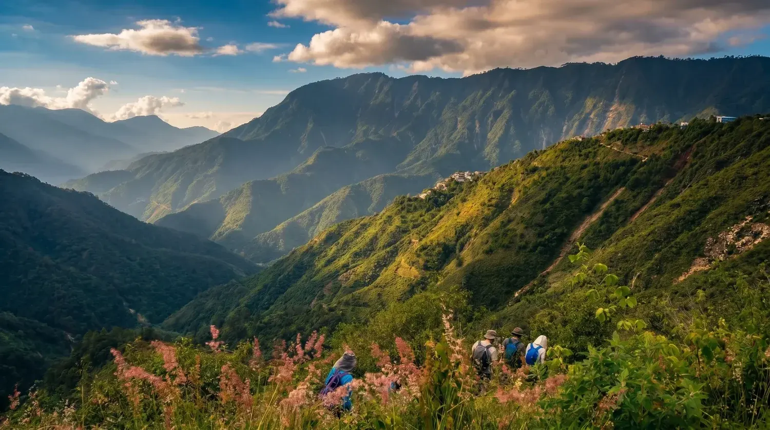
In Oaxaca’s Sierra Norte, walking is a way to connect villages as well as landscapes. Pueblos Mancomunados brings together Zapotec communities whose forest trails and community tourism invite a slower journey: pine-oak woodland, mountain air and the rhythms of village life rather than a race to a summit.
The wider Sierra Juárez tourism route includes Benito Juárez, La Nevería, Latuvi, Cuajimoloyas and Lachatao. Each village offers its own perspective on the sierra. Trails, viewpoints and local guiding are selected with the community tourism providers, so a village-to-village walk can be shaped around your interests and endurance.
Come for the forest and stay for the connection to place. Leave room to observe plants and birds, share local food and learn from your hosts. Community trails are living landscapes, not an open-access playground: respect local guidance, ask before photographing people and keep to the agreed paths.
- Village-to-village forest walking
- Zapotec community tourism
- Sierra Norte biodiversity
- Historic Camino Real paths
- Three to seven days to discuss
The route experience
Route overview
Route options · Community forest trails
- Meet the community tourism team in the selected starting village and review the trail, weather and walking pace.
- Walk a locally selected forest trail or village connection, with pauses for viewpoints and nature observation.
- Return to your village base or continue to another community; meals, lodging and additional stages depend on the selected program.
An overview of the destination, not a fixed departure itinerary. The selected trails, walking stages and transport are set out in your personalized proposal.
Inclusions & route planning
Guiding, access, transport, meals, equipment and overnight arrangements are defined in your written quote. None are implied by this proposed route.
The community catalog publishes three- and seven-day formats. Four-, five- and six-day concepts require a feasibility review; no fixed village sequence, permission or inclusion is implied.
Your proposal details community-approved guiding, access, meals, lodging, activities and transfers.
What to bring
- Daypack with hip/chest straps (not a tote or shoulder bag)
- 1–2 litres of water
- Trail snacks: nuts, dried fruit, bars
- Hiking boots or trail shoes with ankle support and grippy soles
- Sports clothing: quick-dry shirt, jacket, hiking trousers
- ID and cash for lunch
- Warm hat and gloves
- Sunscreen, sunglasses and cap
- Rain jacket
The day before: no alcohol, a carb-rich dinner, plenty of water and a good night's sleep.
Preparation
Share your recent hiking experience, fitness and time at altitude. Train for both the climb and the descent, break in your footwear and check the final packing list for your dates. Seek medical advice for health concerns before high-altitude travel.
Safety & access
Weather, trail access and the group’s condition may change the plan. Ask for guide arrangements, emergency communication, evacuation planning and insurance requirements for your selected route. A viewpoint or summit is never guaranteed.
Planning & safety →About this place
- A network of Zapotec communities in Oaxaca's Sierra Norte that manage ecotourism together.
Trip facts
- Duration
- 3–7-day planning concepts · local agreement required
- Difficulty
- Depends on the selected trail
- Max altitude
- Defined by the selected route
- Elevation gain
- Defined by the selected walking stages
- Price / quote
- Request a Quote
- Departures
- Private departure · on request
- Group size
- Specified in your route proposal
- Meeting point
- Set out in your trip proposal
- Guide & supervision
- Ask for the guide profile for your route
- What's included
- Only agreed services in your written quote
- What to bring
- See the packing list above
- Acclimatization requirements
- Planned around altitude and experience
- Cancellation policy
- Provided with your quote before booking