IZTA-POPO NATIONAL PARK · MEXICO
Iztaccíhuatl Summit
Above the clouds. Along the Sleeping Woman.
A demanding high-altitude ascent through volcanic ridgelines, with Mexico’s third-highest mountain as your objective.
Advanced · high altitude
- Route format
- 2 days · reference
- Route distance
- 16 km RT
- Elevation gain
- 1,300 m
- Summit altitude
- 5,230 m
Reference route measurements · access and conditions vary · Summit push 8–10 hours from La Joya (3,930 m)
Overview
A mountain that stays with you.
Iztaccíhuatl rises above the Valley of Mexico in the unmistakable shape of a sleeping woman. This is a mountain journey, not a casual day hike: thin air, exposed ridges and changing conditions make preparation part of the adventure.
- Follow the classic Los Portillos approach
- Experience the dramatic high-mountain ridgeline
- Look across toward neighboring Popocatépetl
The summit is an objective, never a guarantee. Conditions, acclimatization and the guide’s assessment determine how far an ascent can safely go.
The route
From the trailhead to the high ridges.
Reference outline; transport, overnight stays, meals and access depend on your proposal. Two days: camp at La Joya, a midnight start and a long ridge along the Sleeping Woman. Switch tabs for the route overview or the hour-by-hour plan.
DAY 01 · APPROACH
La Joya & Los Portillos
La Joya (about 3,930 m) is a reference approach and possible overnight base. Access, shelter, meals and sleeping equipment are agreed in the proposal. Los Portillos leads toward the upper mountain.
DAY 02 · SUMMIT OBJECTIVE
Along the Sleeping Woman
The summit route follows features known as the feet and knees, then the belly and chest of the mountain. Snow, ice and altitude can change the demands of the climb. Summit timing, equipment and turnaround decisions depend on the final plan and conditions.
RETURN · DESCENT
Back down the mountain
Descending is part of the challenge. Keep energy in reserve for the return to the trailhead; transport arrangements and the return schedule will be confirmed with your trip proposal.
Preparation
Big altitude. Thoughtful preparation.
Endurance, acclimatization and technical skills need an individual review. No fitness benchmark or previous summit guarantees readiness for this route.
Experience & fitness
Endurance, acclimatization and technical skills need an individual review. No fitness benchmark or previous summit guarantees readiness for this route.
Acclimatization
Acclimatization takes time and an individual progression; a lower summit does not guarantee readiness for a higher one. Review sequence, rest and symptoms with a professional.
Mountain equipment
Warm layers, weather protection, suitable mountain footwear and a headlamp are preparation essentials. The final packing list, technical gear and any rentals must be confirmed for your conditions.
Your plan should be clear before you commit.
Review guide profile, group ratio, communication, evacuation, equipment and insurance for your route before booking. Weather, access and the group’s condition may require changes or a turnaround.
Planning & safetyPack for the mountain, not just the trail.
Personal packing guidance and technical equipment to review for the route. These lists do not promise included services.
You bring
- Mountaineering or stiff, broken-in hiking boots
- Merino or synthetic base layers (no cotton)
- Fleece mid layer & insulated puffy (−5 °C)
- Wind- and waterproof hardshell with hood
- Insulated + liner gloves, warm hat, cat. 4 sunglasses
- 35–50 L backpack, SPF 50 sunscreen & personal medication
Equipment to agree in your proposal
- Helmet and poles as appropriate to the route
- Headlamp and spare batteries for overnight or early starts
- Technical equipment and compatibility for snow, ice or glacier terrain
- Confirm who supplies each item and any rental cost
Ask about equipment, sizing, who supplies it and rental availability or cost before booking.
Build up to the altitude.
Explore these hikes as possible preparation—not a fixed acclimatization schedule. Your experience, rest days and response to altitude determine the right progression.
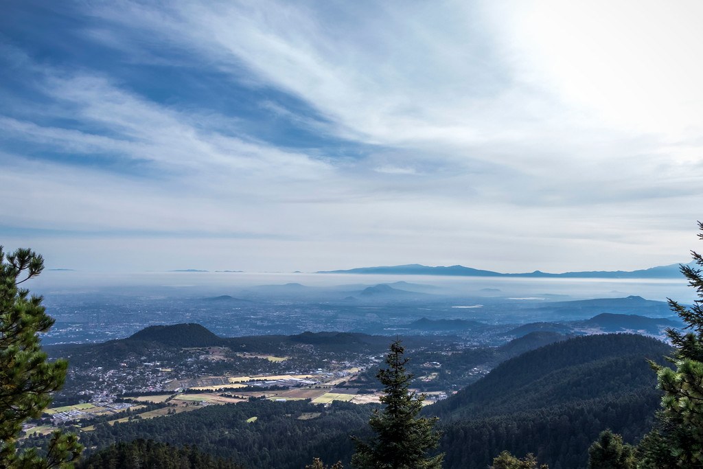
01 · Acclimatization option
Ajusco
Ajusco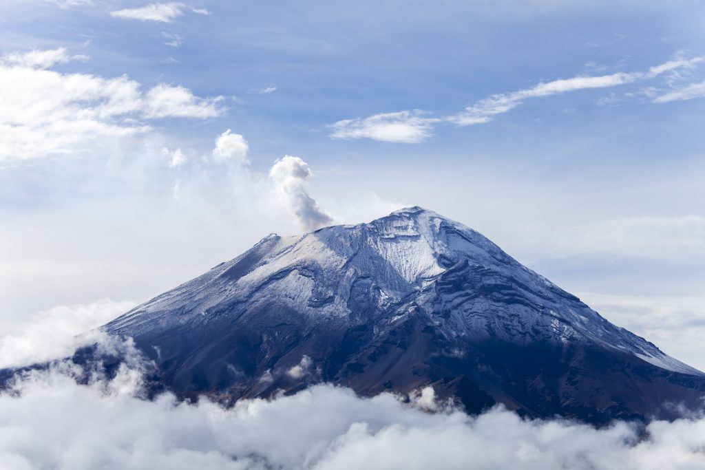
02 · Acclimatization option
La Malinche
La Malinche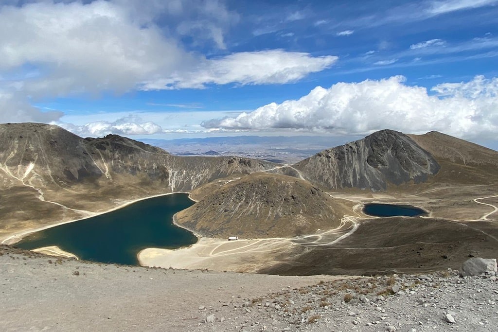
03 · Acclimatization option
Nevado de Toluca
Nevado de Toluca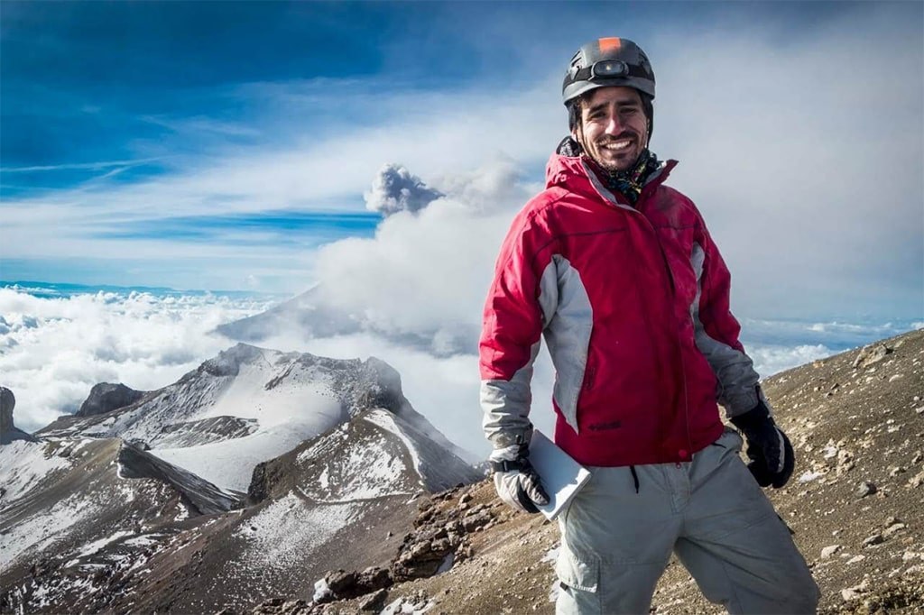
04 · This hike
Iztaccíhuatl
You are here
Mountain conditions shape the plan.
Cold, wind, snow and ice can change the route. These are planning considerations, not a live forecast or a safety clearance.
Cold & wind
Prepare for freezing conditions and wind exposure. Ask about clothing for your travel dates.
Snow & ice
Surface conditions determine footwear and technical equipment needs. Confirm close to departure.
Summit decisions
A forecast alone cannot establish safe conditions. Route and turnaround decisions need an on-site assessment.
Trip details
The details, without the guesswork.
Private treks, available on request. Full trek details, inclusions, equipment recommendations, availability and a personalized quotation are provided upon request.
Pickup from selected Mexico City zones may be arranged where feasible and confirmed in your written proposal. Your preferred zone is a request, not a guaranteed pickup.
Your proposal defines services and booking arrangements. Reference route details are not confirmed inclusions.
- Dates & availability
- Request your dates; access, conditions and guide availability are checked for your route.
- Price & quote
- A personalized quote with total price and payment terms before booking.
- Group & guiding
- Guide profile and group-to-guide ratio are specified in the proposal.
- Transport & meeting point
- Pickup, transport and return are itemized in your proposal; a reference timetable is not a confirmed pickup.
- Inclusions & meals
- Only agreed, listed services are included. Your quote specifies guiding, access, meals, lodging and who supplies equipment.
- Booking & cancellation
- Payment, cancellation and weather-related changes are provided in writing before you commit.
A quote for your dates and your group.
Traveling solo, as a couple or with friends? Request your total trip cost with a clear breakdown of inclusions, equipment, payment terms and cancellation conditions. We quote the price for your group size.
No payment required to inquire.
Safety for this mountain
- Terrain & exposure
- Exposed volcanic ridges, loose rock, high altitude and possible snow or ice.
- Preparation
- Plan for sustained ascent and descent, cold overnight or early-start conditions and individual acclimatization. Technical needs depend on the chosen route and surface conditions.
Before departure
- Review personal acclimatization and report symptoms before going higher.
- Confirm assigned guide, supervision, communication and evacuation arrangements for this route.
- Check current access, weather, required equipment and insurance activity/altitude limits.
- Agree the overnight plan and technical footwear/equipment compatibility before departure.
Severe or worsening altitude symptoms: stop ascending, descend and seek urgent medical help. Confusion, inability to walk steadily or breathlessness at rest are emergencies. Do not leave the affected person alone; arrange assisted descent or evacuation if walking is unsafe.
FAQs
Before you head for the mountain.
Route references & photographs
Measurements and schedules are references, not a fixed operating itinerary. Your proposal specifies the route and services.
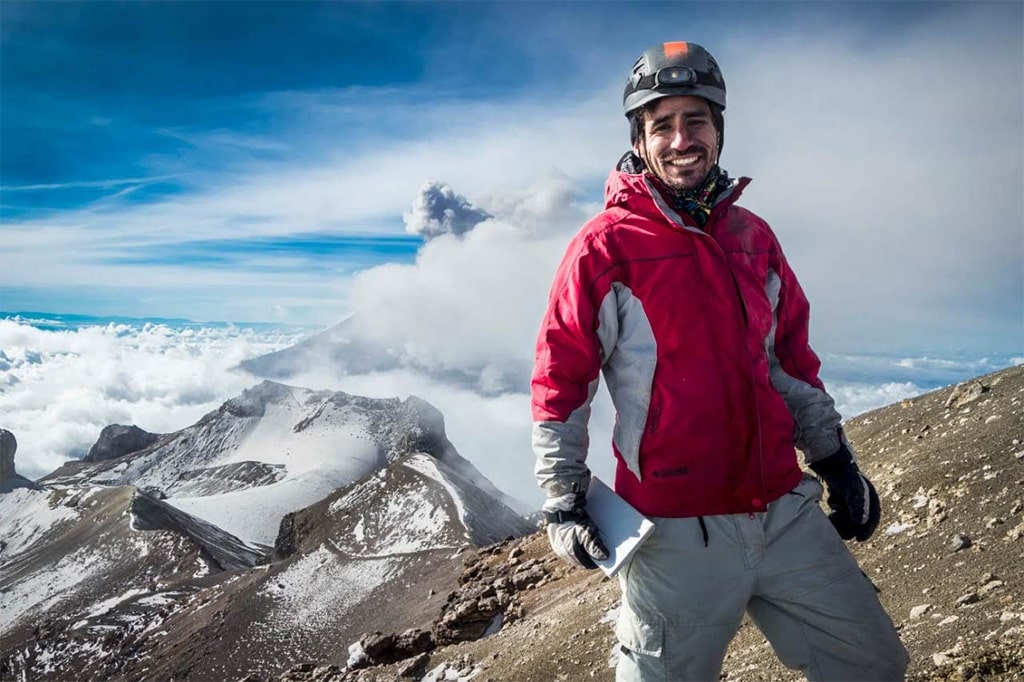
ON THE MOUNTAIN
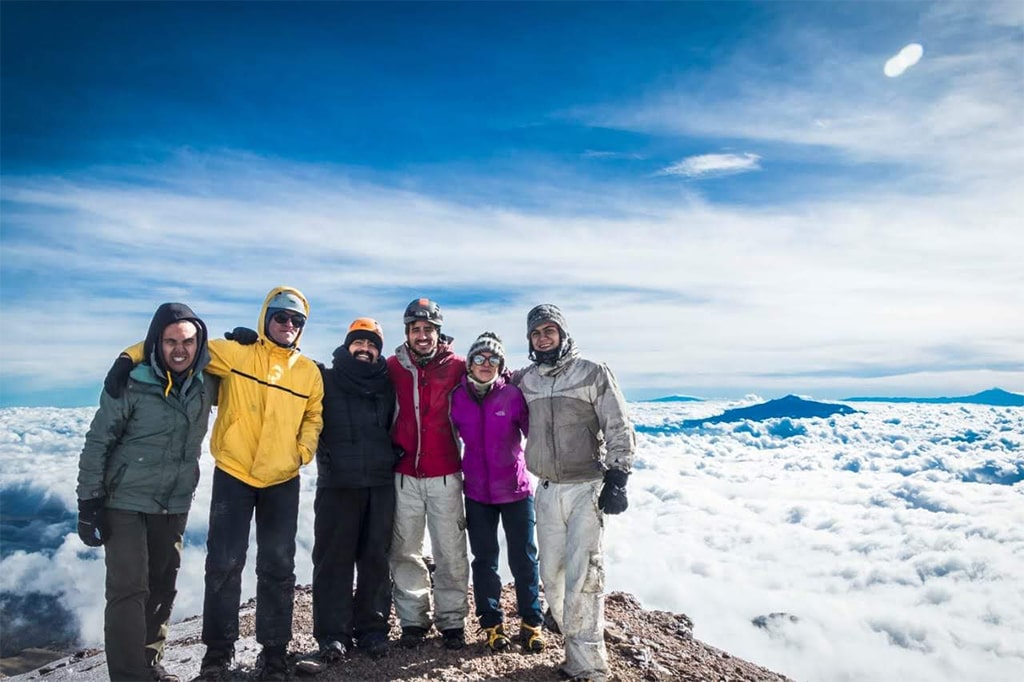
Picture yourself above the clouds.
Real moments from Iztaccíhuatl ascents: the ridges, the effort and the shared experience. Conditions vary between trips.
Mountain photographs show past conditions, not current access, snow or weather.
Let’s find your way to Iztaccíhuatl.
Share your dates, group size and hiking experience. Request a personalized proposal with availability, price and inclusions confirmed before you book.
No payment required to inquire.
Hiking stories from this trail
Story · 7 min read
A Night on the Sleeping Woman
Midnight headlamps, a ridge shaped like a body, and sunrise at 5,000 meters: following one climber up Iztaccíhuatl.
Read the story →
Guide · 5 min read
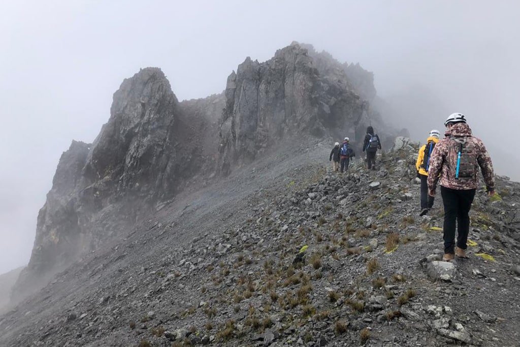
How to Acclimatize for Mexico’s Volcanoes: The Altitude Ladder
The proven sequence from Mexico City to Pico de Orizaba — which peaks to climb, in what order, and how many rest days you need.
Read the story →
Guide · 4 min read
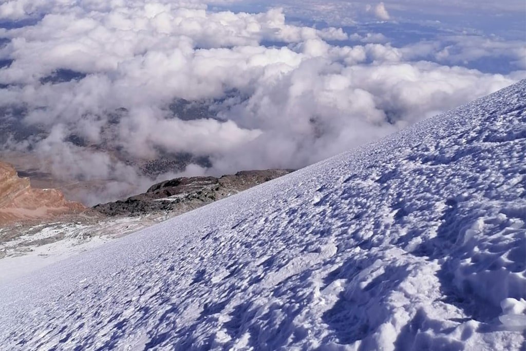
What to Pack for Mexico’s Volcanoes
From a day on Nevado de Toluca to a glacier on Pico de Orizaba: the layers, boots and small items that make the difference.
Read the story →
Guide · 4 min read
The Best Time of Year to Hike Mexico’s Volcanoes
Dry season, rainy season and glacier season: when to go for clear views, stable snow and safer summit days.
Read the story →
Make it a mountain journey.
Ask about adding an acclimatization hike or another iconic volcano.
IntermediateTlaxcala / Puebla
La Malinche Summit
A classic acclimatization peak: pine forest giving way to open alpine slopes.
Private departure · on request
Request Full Trek Details →IntermediateState of Mexico
Nevado de Toluca Summit
A high-altitude day out among crater rims and the Sun and Moon lagoons.
Private departure · on request
Request Full Trek Details →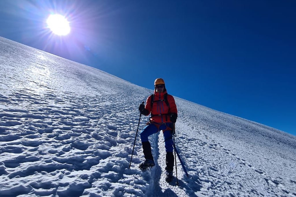 Advanced
Puebla / Veracruz
Pico de Orizaba Summit
Mexico's highest summit — a high-altitude expedition with detailed preparation requirements.
Private departure · on request
Request Full Trek Details →Iztaccíhuatl Summit
Private departure · on request